A phone showing one bar of signal is not a navigation plan. When a storm takes down cell towers, when you drive past the last coverage area, or when a data plan expires, the map app you were counting on can turn into a blank screen. The useful part of the story is that land navigation never actually depended on the internet in the first place. A compass, a paper map, and a GPS receiver that only listens to satellites all work fine with zero bars.
Building a reliable setup means layering a few tools so that no single failure, whether a dead battery or a lost signal, leaves you without a way to figure out where you are and how to get home.
Why Offline Navigation Belongs in a Preparedness Kit
Most people navigate with a phone because it is convenient, not because it is dependable. Convenience breaks down in predictable ways. Cell service disappears in rural areas, in deep valleys, and during wide outages after severe weather. Data plans change, and travelers who lose a subsidized plan quickly start asking which apps can store a route for later use. Campers and off-road drivers report the same frustration: the route they loaded disappears the moment service drops.
That gap is what offline navigation fills. The goal is not to abandon your phone. It is to make sure the tools you carry still function when the network does not.
How GPS Works Without an Internet Connection
This is the part most people get wrong. A GPS receiver determines your position by listening to signals from satellites. It does not need the internet to know where you are, and it does not need cell service either. The receiver does the calculating on its own.
What the internet provides is everything around that position fix: the map tiles you see on screen, address search, live traffic, and business listings. Strip those away and the position data still works. That is why the real question is not whether GPS functions offline. It does. The question is whether the map data is already stored on your device, because an app that streams its maps needs a connection to draw the picture.
Paper Maps: The Foundation That Never Loses Battery
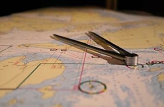
Paper does not need charging, does not need a signal, and does not care whether the grid is up. It also works in rain if you keep it in a sleeve, and it can be handed to another person in your group.
Choosing the Right Maps
Start with topographic maps for the areas you travel through most, plus a broader road atlas for surrounding regions. A topographic map shows elevation, terrain shape, ridgelines, and water features, which is what you need when roads are closed or you are moving on foot. Road atlases handle the driving portion of a trip.
Local park and forest maps fill in trail networks and access points that general maps often skip. Waterproof or laminated versions survive weather far better than standard paper. Availability and current editions vary by region and agency, so check with the office or visitor center that manages the land you plan to visit.
Reading Terrain and Contour Lines
Contour lines connect points of equal elevation. Lines packed close together mean steep ground. Widely spaced lines mean gentler slopes. Closed loops mark peaks, and V shapes point upslope toward a drainage.
Once you can picture the terrain from the lines, you can match what you see around you to what is on the paper. That skill is what lets a map replace a moving dot on a screen. Learn the scale printed on the map so you can estimate distance, and take a few minutes to understand how magnetic north differs from grid north in your area.
Compasses and Basic Land Navigation Skills
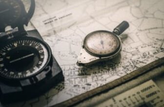
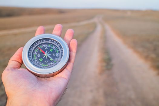
A compass works anywhere on Earth without a battery, a subscription, or a satellite. It is the single cheapest piece of redundant gear you can add to a bag.
Parts of a Baseplate Compass
A baseplate compass typically includes a clear baseplate, a rotating bezel with degree markings, a magnetic needle, an orienting arrow inside the bezel, and a direction of travel arrow at the front. The clear baseplate lets you read the map underneath it, and the edges usually double as a ruler.
Taking a Bearing and Following It
To follow a bearing, lay the edge of the baseplate along the line between your position and your destination, with the direction of travel arrow pointing where you want to go. Rotate the bezel until the orienting lines sit parallel with the north-south grid lines on the map. Then lift the compass and turn your body until the magnetic needle lines up inside the orienting arrow. The direction of travel arrow now points at your target.
Follow that line, pick a landmark along it, and walk to the landmark before checking again. Skipping ahead without a reference point is how people drift off course.
Offline Map Apps on Your Phone
Your phone is still a practical navigation device when the maps are stored locally. Apps built for offline use let you download regions ahead of time and then run turn-by-turn navigation, place search, and tracking without a data connection.
MAPS.ME is one example. Its App Store listing describes fast, detailed offline maps with turn-by-turn navigation, and notes that the app saves mobile data because no internet connection is required. It is free with in-app purchases and holds a 4.7 rating across roughly 78,000 ratings in the Travel category.
Another option is Offline Map Navigation from the developer VirtualMaze on Google Play, which offers turn-by-turn directions and offline place search. The listing shows it contains ads and in-app purchases and carries a 4.3 rating from about 104,000 reviews.
Ratings, features, and download sizes change over time, so verify current details in the store listing before you rely on any app. One practical detail matters more than the brand: most offline map apps require you to download a regional map while you still have a connection. People regularly search for an app that works without ever downloading a region, and that expectation usually leads to disappointment. Download your areas at home, on Wi-Fi, before you leave.
Dedicated Handheld GPS Units
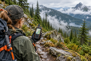
Handheld GPS devices exist specifically for this job. They store map data on the device, run on satellite signals, and do not depend on a phone plan or a paired phone. Many are built to survive drops and wet weather, which matters if you are hiking, hunting, or traveling by boat.
Because model specs vary widely, compare battery life, screen readability in sunlight, map compatibility, and how maps are loaded before buying. A dedicated unit makes sense for anyone who spends extended time far from coverage, and it keeps your phone free for emergencies.
Power Planning for Offline Devices
Offline capability means nothing if the device is dead. A few habits stretch battery life considerably.
- Switch to airplane mode while navigating. The GPS chip still receives satellite signals, but the radio stops hunting for towers.
- Lower screen brightness and shorten the screen timeout.
- Preload maps and routes at home rather than searching on the move.
- Carry a power bank and the correct cable for each device.
- Keep spare batteries for a handheld unit and for any headlamp you depend on.
- Store a solar charger or car charger for longer trips, and test it before you need it.
Building a Layered Navigation Kit
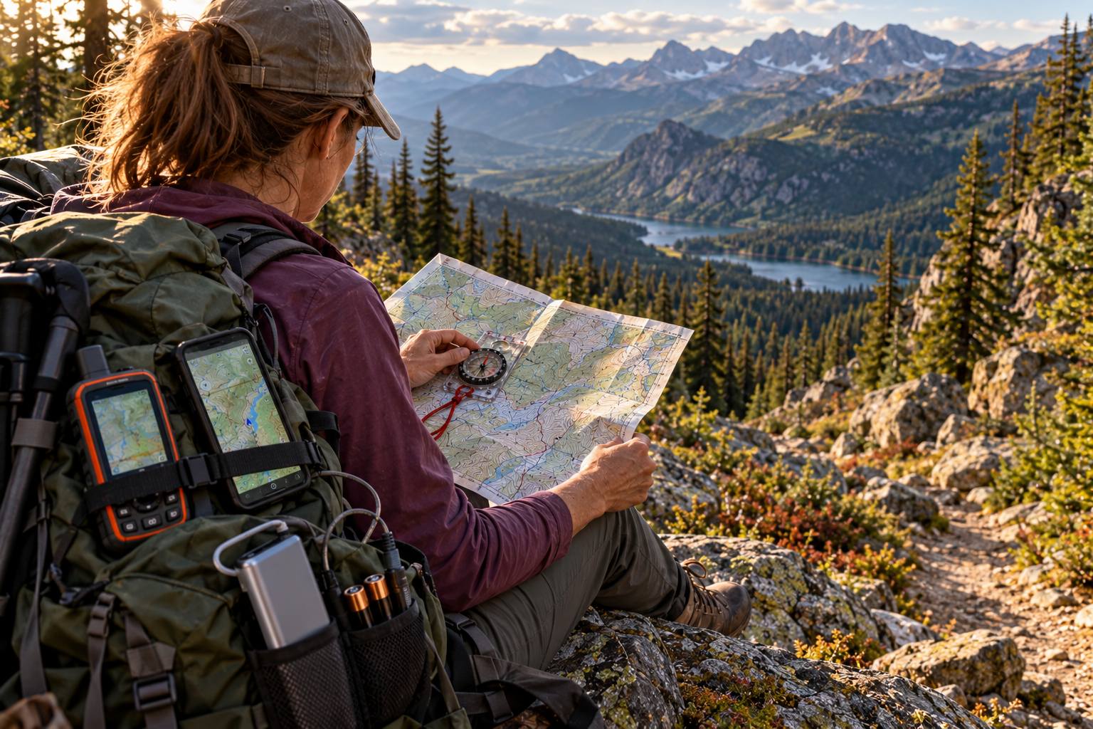
Each tool covers a weakness in the others. A phone is fast but fragile. Paper is durable but slow. A compass is simple but tells you direction only. Stacking them means one failure never becomes a crisis.
| Tool | Needs Internet | Needs Power | Best Use |
|---|---|---|---|
| Paper map or atlas | No | No | Planning, backup, group sharing |
| Baseplate compass | No | No | Direction, bearings, map orientation |
| Phone with offline maps | No, once maps are downloaded | Yes | Turn-by-turn driving and walking routes |
| Handheld GPS unit | No | Yes | Remote travel, tracking, waypoints |
Practicing Before You Need It
Skills fade faster than gear. Spend an afternoon in a familiar park or neighborhood and try to reach a set of points using only a map and compass. Practice taking a bearing, walking it, and confirming your position against terrain features.
Then test your offline apps. Turn on airplane mode, load a downloaded region, and see how the app behaves when it cannot reach a server. Do this at home where a mistake costs nothing. On the day you actually need these tools, you will be repeating something you already know instead of learning under pressure.
Frequently Asked Questions
Can GPS work without internet or cell service?
Yes. A GPS receiver determines your position using signals from satellites, so it never needs the internet or a cell tower to calculate a location. The internet only supplies map tiles, search results, and traffic data. As long as your map data is stored on the device, navigation continues to work with no connection at all.
Which offline map apps are worth trying?
MAPS.ME offers offline maps with turn-by-turn navigation and is free with in-app purchases. Offline Map Navigation by VirtualMaze provides turn-by-turn directions and offline place search. Both require downloading map regions in advance while you have a connection. Ratings and features change, so check the current store listing before installing and relying on any app.
Do I still need a paper map if my phone has offline maps?
Yes, for two reasons. A phone can break, lose charge, or get dropped in water, none of which affect folded paper. A paper map also works when you need to plan a route with another person or mark up options. Treat the phone as your fast tool and the paper map as your fallback.
How do I keep a phone charged for navigation?
Put the device in airplane mode so the radio stops searching for towers, lower screen brightness, and shorten the screen timeout. Preload maps at home rather than drawing them live. Carry a charged power bank with the right cable, and keep a car or solar charger for longer trips.
What should a beginner learn first?
Start with map orientation and contour lines, then add a baseplate compass. Practice taking a bearing from a map, following it to a landmark, and confirming your position against terrain around you. Do this in a familiar area first, then test your offline map apps in airplane mode before relying on them anywhere remote.