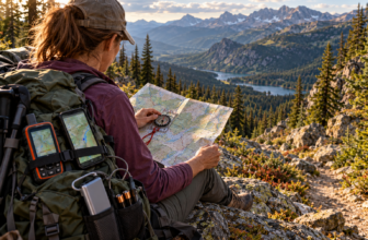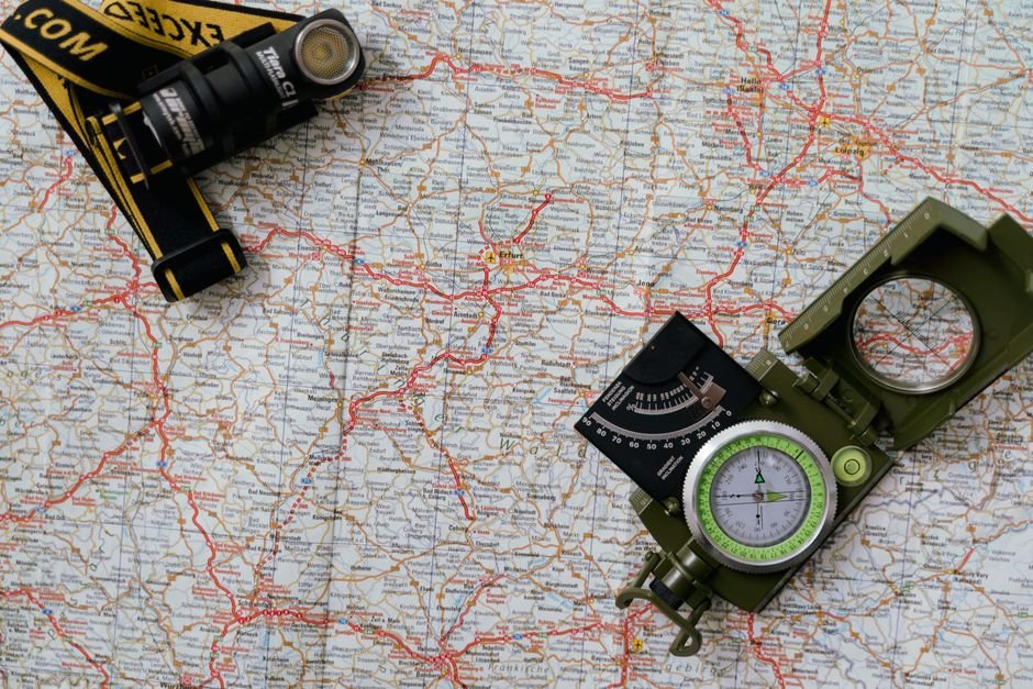
A paper map does not need a signal, a battery, or an account. It keeps working when a phone dies or a tower goes down, which is one reason the skill belongs in a preparedness kit next to water storage and first aid. The BLM’s basic map reading course describes its purpose as teaching the fundamental concepts for reading, interpreting, and locating positions on topographic maps. That is a fair summary of what a beginner actually needs. Not cartography. Just a small set of ideas that turns a printed sheet into usable information.
What a Map Is Telling You
Maps lean on symbols rather than sentences. Ordnance Survey explains that most maps use symbols instead of written descriptions to show where things are, mainly to keep the sheet from becoming crowded with text that would make it harder to read. Every one of those symbols has a matching entry in the key, and the key is where a beginner should start.
So the first job is not walking. It is looking. Before you plan anything, find the legend and read it end to end. Ten minutes with a legend can teach you how that particular map marks a trail, a stream, a boundary, a fence, or a building, and those answers are not always the same from one map to the next.
A beginner’s guide to reading a map makes the same point in a slightly different way: understanding the legend is key, because it explains what the different symbols mean. Skip it and you are guessing. Read it and the map starts speaking a language you can follow.
Read the Margin Before the Middle
Topographic maps carry a band of information around the edge, and formal map reading instruction treats locating that material as a core skill. The margin is where the map explains itself, including the legend, the scale, and the notes describing what the sheet covers.
A short routine at the start of any map session saves a lot of confusion later:
-
Find the legend and scan every symbol once, even the ones you think you already know.
-
Locate the scale and note what it means for measuring distance on the ground.
-
Read any publisher notes about the map’s coverage and how the sheet is organized.
-
Identify the grid system used, since a reference is only useful if the person receiving it is working from the same grid.
Ordnance Survey’s map reading guide opens with what a map is and how to understand your map needs before moving into symbols and scale. That order is deliberate. You pick the map that fits the job, then you learn what it is telling you. If you are using a map you have not seen before, check its margin notes rather than assuming the layout matches the last map you used.
Map Scale: Distance on Paper Versus Distance on the Ground
Scale describes the relationship between a measurement on the map and the same measurement on the ground. It is the bridge between what you see and what you will actually walk, which is why the Ordnance Survey guide places scale early in its contents and returns to it later under measuring distance travelled on the ground.
Two maps of the same area at different scales will not look alike. One covers a large area with less detail. Another covers a smaller area with more detail. Neither is better in the abstract. The right choice depends on the trip. A long route across a wide region and a short wander through a small patch of land call for different sheets, and the beginner’s mistake is grabbing whatever map is closest instead of thinking about the scale first.
Once you know the scale, you can estimate the distance between two points on the map and carry that estimate onto the ground. That single skill changes how you plan. Instead of wondering whether a shortcut is worth it, you can compare the distances and decide with something better than a hunch. If your map’s scale markings are unclear or you are working from a photocopy, check the original source before you rely on your measurements.
Contour Lines and Relief
Contour lines are the lines on a topographic map that describe relief, meaning the shape and height of the ground. The Ordnance Survey contents list reading contours and relief as a core map reading topic, and military map reading instruction places terrain features alongside marginal information and topographic symbols. Contours are what turn a flat sheet into a picture of hills, valleys, and ridgelines.
The underlying idea is simple. A contour line follows ground that sits at the same height along its whole length. Follow one across the map and you are tracing an imaginary line of level ground wrapped around the terrain. Stack those lines together and the shape of the land starts to appear.
Spacing is where the real information lives. Where contour lines sit close together, the ground is climbing or dropping quickly. Where they spread far apart, the slope is gentler and the walking is usually easier. A beginner can practice this indoors by picking a hill on a familiar map and tracing the lines from the base to the top, watching how the spacing changes.
Contours also tell you which way a slope faces. Ordnance Survey materials cover the aspect of slope as part of contour reading, and it matters because two slopes on the same hill can feel like completely different places. The same hillside also reads differently depending on whether you are looking uphill, downhill, or across the fall line. That is the kind of detail that only shows up once you start paying attention to the lines instead of treating them as decoration.
There is a route planning use for all of this too. Ordnance Survey lists contouring as a technique in its guide, which is the practice of choosing a line of travel that keeps you at a steady height instead of climbing and descending repeatedly. For anyone carrying a pack over distance, that is a meaningful difference in effort.
Grid Lines and Grid References
Grid lines are the framework for saying where something is. The Ordnance Survey guide covers grid references and national grid lines, and military map reading instruction includes determining four-digit and six-digit grid coordinates. The two lengths do the same job at different levels of precision. A shorter reference narrows a position down to a square on the map. A longer one narrows it further within that square.
This matters more than map reading for beginners expect. A location described as “near the old barn” is useless to someone who has never been there. A grid reference works for anyone holding a map with the same grid, which is why the skill shows up in both civilian and military instruction. When you are practicing, take a landmark you can identify with confidence, write down its reference, then hand the reference to someone else and see whether they land on the same spot. If they do not, one of you is reading the grid in the wrong order or from the wrong map.
Grid lines also help with orientation. Once you can see the grid on the paper and match it to the ground, you have a way to describe direction that does not depend on saying “left” or “over that way.”

Orienting the Map and Adding a Compass
Orientation means lining the map up with the ground so that what is in front of you on the ground is also in front of you on the paper. A beginner’s guide to reading a map lists map orientation among the fundamentals, right alongside understanding the legend, and that pairing makes sense. The legend tells you what you are looking at. Orientation tells you where it is relative to you.
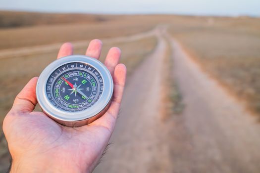
The Ordnance Survey guide moves from contours into compass sections covering knowing your compass, using it, pinpointing your location with it, and triangulation. None of that needs to happen on day one. Start with the parts of the compass and what each one is for, because that is the foundation the later techniques are built on. Then practice using the compass alongside a map rather than on its own, since a bearing without a map is just a number.
Pinpointing your location and triangulation come later, once the basics are automatic. Trying to jump straight to them before you can read a legend and a contour pattern is a good way to get frustrated and quit.
How to Practice Map Reading
Map reading rewards repetition. The subject rewards practice, and the good news is that most of the early reps do not require leaving the house.
-
Pick a map that covers an area you already know well, such as your own neighborhood or a local park.
-
Read the legend and write down what five unfamiliar symbols mean without looking back.
-
Trace a route you have walked before and estimate its distance using the scale.
-
Find a hill on the map and describe its shape and steepness from the contour lines alone.
-
Take three recognizable landmarks, record their grid references, and check them against a second source.
When you are ready to move outside, Ordnance Survey’s beginner’s guides include short videos, and the same site offers advanced map skills guides for when the basics feel easy. The BLM course frames its objectives around defining map terms, locating information in the margins, interpreting symbols, and navigating with a topographic map. Those four goals make a reasonable checklist for your own progress.
Beginner Mistakes That Cost Time
The most common one is treating the legend as optional and trying to work out symbols by shape alone. The second is ignoring scale, which leads to badly misjudged distances and routes that look short on paper and turn out to be much longer on the ground. The third is treating contour lines as background texture instead of reading them, which means missing every hill and valley on the sheet until you are standing on one.
None of these mistakes are hard to fix. They all come back to slowing down at the start of a map session, reading the margins, and letting the map tell you what it knows before you start moving.
Frequently Asked Questions
What are the basic parts of a map I should learn first?
Start with the legend, the scale, and the grid. The legend explains what the symbols mean, the scale tells you how map distance relates to ground distance, and the grid gives you a way to describe exact positions. Map reading instruction also treats the information printed along the map margins as essential, since that is where the map explains itself.
How do contour lines show terrain?
Each contour line follows ground at the same height along its length. Where lines sit close together, the ground rises or drops quickly. Where they spread apart, the slope is gentler. Reading the pattern of spacing across a hill gives you its shape, its steepest sections, and the direction each slope faces without ever seeing it.
What is the difference between a four-digit and six-digit grid reference?
Both identify a location using grid lines, but at different levels of precision. A four-digit reference narrows your position down to a square on the map. A six-digit reference narrows it further within that square. Which one you need depends on how precisely the other person has to find the spot.
Do I need a compass to read a map?
You can learn a great deal from the map alone, including symbols, scale, contours, and grid references. A compass becomes useful for orientation and for pinpointing your position. Ordnance Survey materials treat compass work as a stage that follows the basics, so it is fine to build map skills first and add the compass afterward.
How can a beginner practice map reading?
Use a map of an area you already know. Read the legend, estimate distances with the scale, and describe local hills from their contour lines. Practicing on familiar ground lets you check your reading against what you already know is there, which builds confidence faster than starting with unfamiliar terrain.